
Introduction
A new form of storytelling and interactive engagement is unfolding. Location-aware storytelling enables educators to untether students from the computer and let them roam about the world freely….to hear stories and learn in new ways.
Today’s smart phone can connect to the internet and get its location from a GPS satellite. Educational apps (both native and browser-based) can read the location and display interactive content matched to the location.
The obvious applications are history and the natural sciences – but with a little ingenuity, geolocation storytelling can serve students from a broad range of disciplines.
Inspiration for a new kind of storytelling comes from a group of history enthusiasts, led by Robert Molenda. The group has taken on the name of Lens Flare Stillwater with the tagline ‘The future of Stillwater viewed through the lens of the past.’ Stillwater is a river town located on the Saint Croix River, which borders the states of Minnesota and Wisconsin. To view this town through the lens of the past, the group has combined the arts of storytelling and photography with the new technology of mobile phones and geo-location-aware applications.
Robert Molenda is a retired chemist and business executive from 3M. He and a motivated group that includes John Paul Moore, John Buettner, Dick Marlow and many others, set out to tell Stillwater’s story through photography and narrative. They use the LodeStar eLearning authoring tool, which includes a geolocation-aware template called ARMaker — an abbreviation of Augmented Reality Maker.
To tell Stillwater’s story, they select historical sites of interest and related photographs from the John Runk collection of historical photographs and combine then with their own photography and narrative. They use Google maps to identify the latitude and longitude of a location, and then input that location into LodeStar. They match the location with both audio and text narrative, select the photographs and work out the details – details such as: how many sites should be included in a tour; where should the invisible geo-fence be located that triggers the display of text and graphics; and how much information is sufficient.
This is their story as told by Robert Molenda, which we hope to inspire both formal and informal educators around the world across the disciplines:
The story of Lens Flare Stillwater
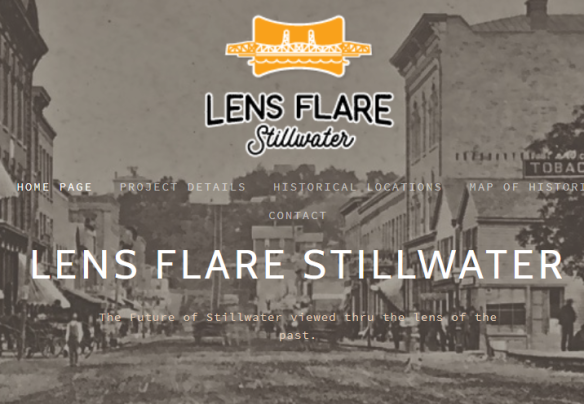
Screenshot of Lens Flare Stillwater, a site dedicated to revealing the history of Stillwater through location-aware applications.
The idea of this project started in May of 2015 when I sent a number of ideas for Stillwater to the Mayor of Stillwater. Among the ideas was the idea for Lens Flare Stillwater.
Imagine that you are a visitor for the first time to Stillwater, standing in front of Terra Springs Apartments. The Terra Springs location is active with a geolocation marker and your smart phone knows when it is inside the “geo-fence” of that location range. When this happens, a photo of this same location at an earlier historical time, appears on your smart phone along with pertinent historical information, an audio narrative and other digital photos that are part of that location story. In this manner, you as a visitor can experience “Augmented Reality” in an active location tour of Stillwater. You can touch, feel, read, listen to information pertinent to the actual location that you are near. As you move along in Stillwater and enter other active “geo-fences” your smart phone will trigger other information pertinent to these different locations.
The theme was to use the Historical Photos of the John Runk Photo Collection with today’s digital technology to put the history of Stillwater in everyone’s pocket or purse.
That was the basis for the idea. Since that time, we applied for a grant from the Stillwater Foundation, made contact with software developers, started a web site that provides a “Virtual Reality” tour of Stillwater and were fortunate to make contact with Lodestar Learning Systems, another software developer involved with educators.
The really difficult work of software development has already been accomplished by people like Sami Jitan of Pivot the World and Robert Bilyk of LodeStar Learning Systems. The job of our team of volunteers is concentrated on providing content consistent with software design legal requirements and visitor needs.
In summary, we are taking advantage of some truly great, high quality historical images, narratives/audio and combining them with geolocation information and software to provide an “Augmented Reality” tour of Stillwater, Minnesota.
Robert Molenda
An Example
Here is an example that can be experienced from the comfort of your office or home, but is best experienced on foot and in Stillwater.
https://lensflare.site44.com/bb/index.htm
Note several features:
- Responsiveness
- Location-aware
- Media Support
If you can’t visit our LodeStar Learning’s hometown of Stillwater with your smart phone, do the next best thing: Shrink the browser window down to the size of a smart phone. Notice the responsiveness. Students who access your learning management system from their smart phones will appreciate LodeStar’s ability to adapt to any screen size. Click on ‘Show Map’. If you are in Stillwater looking at this map, an info window pops up when you cross a geo-fence. Play the audio on a page. View some of the John Runk Collection from one of the image sliders.
All of this functionality combines with LodeStar’s other features: branching, quizzing, interactions, SCORM conformance, and accessibility.
For related articles from past web journal articles, visit:
Augmented Reality for Educators
https://lodestarlearn.wordpress.com/2016/10/23/augmented-reality-for-educators/
Mobile Learning
https://lodestarlearn.wordpress.com/2017/01/03/mobile-learning/
